
Xolile Tsabedze
Geospatial Technologist, Environmental and Water Resources Engineer
Summary
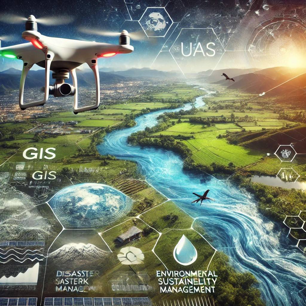
An ambitious GIS specialist and aspiring drone pilot working towards a UAV license, I am passionate about leveraging geospatial technology to drive disaster resilience, environmental sustainability, and water resource management. With a solid background in Environmental Sciences and expertise in GIS-based risk modeling, UAV applications, and hydrological assessments, I specialize in integrating remote sensing, machine learning, and spatial analysis to solve complex environmental, water, and disaster-related challenges.
I am currently serving as a GIS Graduate Trainee, where I actively contribute to disaster risk mapping, early warning systems, UAV data processing, and climate resilience projects. My role involves processing and analyzing UAV imagery, developing GIS-based risk models, and supporting impact-based forecasting to enhance decision-making in disaster preparedness and response.
Academically, I am completing my Master’s degree in Integrated Water Resources Management (IWRM). As I advance my expertise in geospatial technologies and UAV operations, I am actively seeking entry-level roles where I can apply my skills in GIS, remote sensing, environmental and water resources management, and disaster risk reduction. I am eager to contribute to dynamic organizations that prioritize data-driven solutions, sustainability, and innovation in disaster and environmental management.
Languages
English
Bilingual or Proficient (C2)